Trip report Archived

Via Alpina (Stages 2-7)

  • Caspar Milan

1 walked

Where
Sargans to Hotel Engelberg Switzerland
When
9–16 Sep 2026
Walked
120.6 km · 5,412 m up · 6 walking days

I would say that I feel good. I did the stages, and it was beautiful. I was alone, not as wild as I hoped it would be (too much civilization), but yeah, really beautiful. Nice to get some kilometers in the legs.

I was going to go to Norway, but it had rain, rain, and rain, and I decided to jump on a change of plans to Switzerland. And I kind of knew it beforehand, but you always need to experience it to see how it feels. I knew that I was not going to wild camp. I knew that I was going to come back to civilization every time I finished a day, and that the mountain pass would be the most remote of any of the stages. It did not feel crazy popular. There were not a lot of other hikers doing it, and of course it was extremely beautiful. At times I was the only person in the world, but it didn't feel so wild.

There were lots of cows on the path. Also, cows were using the trail. Nothing wrong with that, but there were these very light fences to guide the cows when they needed to get them up and down the mountain. That meant that you walked kind of like a cow, like you had that tunnel vision: "Oh, I can't step out of this path." Of course, you could go basically anywhere, I guess. Maybe some farmers would object, but it felt very controlled. It didn't feel that wild.

I knew I was not bringing my tent. I knew I was not wild camping, but that's probably what I wanted originally. The next time I'm faced with rain or sunshine, I might actually pick rain. I might regret it, but having said that, this is extremely beautiful, with extremely interesting fauna, very, very nice plants, bushes, trees, grass, flowers, everything, and very much variation. Sometimes you're deep in a forest, sometimes you're on a mountainside, and sometimes you're on the top of a mountain or mountain pass.

I met some nice people along the way, for sure. The weather was great. I probably had too heavy a backpack because I dragged my computer and an unnecessary power bank with me, considering that you could charge every time you were sleeping in the small towns or guest houses. Happy to be out, happy to get kilometers in my legs, but a little bit too much civilization. That's just how I like to hike. That's my comments.

Day by day

The days, as planned and walked.

  1. Day 1 Wed 9 SepCopenhagen to SargansTravel day

  2. Day 2 Thu 10 SepSargans to Alp Siez14.8 km

  3. Day 3 Fri 11 SepAlp Siez to Hotel Segnes, Elm20.9 km

  4. Day 4 Sat 12 SepHotel Segnes, Elm to Adrenalin Backpackers, Braunwald22.4 km

  5. Day 5 Sun 13 SepAdrenalin Backpackers, Braunwald to Gasthof Urnerboden10.3 km

  6. Day 6 Mon 14 SepGasthof Urnerboden to Hotel Höfli, Altdorf29.1 km

  7. Day 7 Tue 15 SepHotel Höfli, Altdorf to Hotel Engelberg23.1 km

  8. Day 8 Wed 16 SepEngelberg to CopenhagenTravel day

Looking back

What each of us made of it.

  • Caspar Milan Good

The numbers

What the days measured, and what the organizer noted about them.

Outcome
Completed as planned
Actual dates
9–16 Sep 2026
Walking days
6
Distance
120.6 km
Elevation
+5,412 m · −7,102 m
The trip, day by day: planned and recorded figures, weather, tracks and notes
DayPlannedRecordedWeatherTracksNote
Day 1Wed 9 Sep Copenhagen to Sargans Travel day——Observed on Wed 9 Sep at Sargans, Wahlkreis Sarganserland, St. Gallen, Switzerland: rain, high 19°, low 12°, 38 mm of precipitation. —well, it was super simple: just fly in from Copenhagen, take the train to Sargans, sleep, and be ready for the first day of hiking, which is day 2.
Day 2Thu 10 Sep Sargans to Alp Siez
about 17.0 km +820 m · −300 m
14.8 km +910 m · −346 m
Observed on Thu 10 Sep halfway along the day's track: cloudy, high 17°, low 10°. I forgot to start recording my track here on the first day. I'm adding a bit more kilometers than my track shows.
Day 3Fri 11 Sep Alp Siez to Hotel Segnes, Elm
about 18.0 km +1,400 m · −1,450 m
20.9 km +1,243 m · −1,436 m
Observed on Fri 11 Sep halfway along the day's track: partly cloudy, high 20°, low 10°. —

Day 4Sat 12 Sep Hotel Segnes, Elm to Adrenalin Backpackers, Braunwald
about 25.0 km +1,650 m · −1,950 m
22.4 km +1,029 m · −1,843 m
Observed on Sat 12 Sep halfway along the day's track: partly cloudy, high 23°, low 10°. —
Day 5Sun 13 Sep Adrenalin Backpackers, Braunwald to Gasthof Urnerboden
about 16.0 km +1,100 m · −360 m
10.3 km +372 m · −216 m
Observed on Sun 13 Sep halfway along the day's track: rain, high 25°, low 11°, 1.6 mm of precipitation. I took a cable car up to where I was going to sleep the day before. That's why the distances here are less than the route, and the same goes for ascent. I did not get all those meters because of the cable car. However, I had to go up to sleep, and it felt silly to go down to walk up again, I have to say.
Day 6Mon 14 Sep Gasthof Urnerboden to Hotel Höfli, Altdorf
about 27.0 km +1,050 m · −1,900 m
29.1 km +932 m · −1,806 m
Observed on Mon 14 Sep halfway along the day's track: partly cloudy, high 24°, low 16°, 0.4 mm of precipitation. Not sure why I got so many more kilometers (I mean, 2.1 more), but I guess ascend and descent kind of fit.
Day 7Tue 15 Sep Hotel Höfli, Altdorf to Hotel Engelberg
30.0 km +2,100 m · −1,500 m
23.1 km +926 m · −1,455 m
Observed on Tue 15 Sep halfway along the day's track: clear, high 26°, low 13°. Here, I also have fewer kilometers than the distance, simply because I took the bus and the cable car. It was the last day, and it was kind of trashed. A guidebook I had said that you're not missing the most beautiful areas, and mostly it was civilization. I took the bus through the flat landscape and the cable car up. But still 23 km

Day 8Wed 16 Sep Engelberg to Copenhagen Travel day——Observed on Wed 16 Sep at Engelberg, Obwalden, Switzerland: rain, high 21°, low 13°, 18 mm of precipitation. —Again, very simple: 1. Jump in the public transport system. 2. Get to Suerik. 3. Get to the airport. 4. Go home. Super sweet, super easy.

What we carried

  • Caspar Milan 49 items from Via Alpina (Stage 2-7)
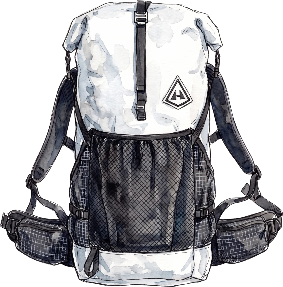
    Backpack Southwest, drawn
    Southwest Backpack
    Shelter
    None on the list
    Sleep
    None on the list
    Feet
    None on the list
    Base
    12.0kg
    Total
    12.0kg

Tracks

The walk as our digital devices recorded it.

The trip’s tracks

  • Track 10.09.2026 13_27(1).gpx Day 2 Thu 10 Sep 10.5 km · +682 m · −304 m · 10,964 points · 3 h 1 min · about 2 h 29 min on foot
  • Track 10.09.2026 14_45(1).gpx Day 2 Thu 10 Sep 4.3 km · +228 m · −42 m · 4,614 points · 1 h 16 min · about 55 min on foot
  • Track 11.09.2026 16_02(1).gpx Day 3 Fri 11 Sep 20.9 km · +1,243 m · −1,436 m · 27,533 points · 7 h 59 min · about 5 h 38 min on foot
  • Track 12.09.2026 17_14.gpx Day 4 Sat 12 Sep 22.4 km · +1,029 m · −1,843 m · 30,516 points · 8 h 27 min · about 6 h 26 min on foot
  • Track 13.09.2026 13_29.gpx Day 5 Sun 13 Sep 10.3 km · +372 m · −216 m · 10,737 points · 2 h 59 min · about 2 h 26 min on foot
  • Track 14.09.2026 16_11.gpx Day 6 Mon 14 Sep 29.1 km · +932 m · −1,806 m · 28,582 points · 8 h 7 min · about 6 h 44 min on foot
  • Track 15.09.2026 15_47.gpx Day 7 Tue 15 Sep 23.1 km · +926 m · −1,455 m · 25,807 points · 7 h 28 min · about 4 h 52 min on foot
  • Distance is measured from the track’s points.
  • Elevation comes from its GPS altitude, with a 5 m hysteresis, leaving out readings the ground could not have produced.
  • Time on the trail runs from the first timestamp to the last. On foot leaves out the minutes the track did not move, judged over a minute at a time, and is an estimate.
  • Your app may report different numbers.
  • Weather data provided by Visual Crossing
  • Place lookup © OpenStreetMap contributors